Quiz: can you unscramble 8 Guernsey place names?
We’ve hidden the names of eight well-known Guernsey locations in a series of anagrams. Some of them are buildings, some are coastal beauty spots, and some are streets. How many can you unscramble with the help of the clues? Click each card to flip it around and reveal the answer.
Herm lookout
 Click to Flip

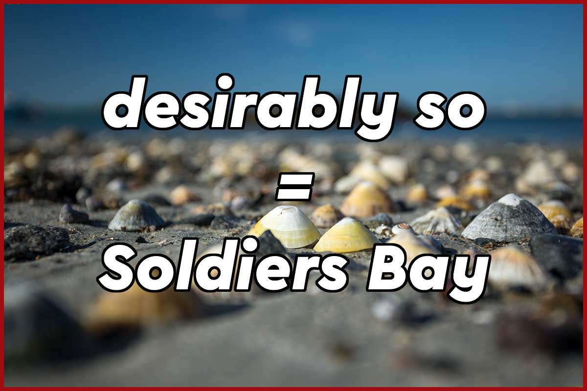
Vegetarians might find it amusing
 Click to Flip

A chilly spot in winter
 Click to Flip

Perfect for cats
 Click to Flip

See how this floats your boat
 Click to Flip

A high headland
 Click to Flip

We like it
 Click to Flip
Short and sweet
 Click to Flip

Share:
Click above to share this quiz and challenge your friends…
The Guernsey Quiz Book

Stuck for a last minute Christmas gift? We might have just the thing for the Guernsey brainbox in your family.
The Guernsey Quiz Book is the first spin-off from the Sarnian series of books. You don’t need to have read any of the Sarnian novels to play, but a good knowledge of Guernsey and the other islands in the Bailiwick will certainly help. Covering Guernsey, Herm, Sark and Alderney, all 1000 questions relate to the islands and the waters that surround them, the people that live (or lived) on them, media and events that took place in their history.
1000 questions in 100 quizzes
Unlike other quiz books, there’s no padding, and every round is a pot-luck general knowledge line-up of 10 questions. Some are hard, some easy, and some multiple choice, so nobody should leave any round without any points.

Buy a copy today
 It’s £3.99 in paperback, and just £1.99 on Kindle, and while we would almost always encourage you to buy a book digitally if you can (not only is it cheaper, but it’s also kinder to the planet), we have to admit to preferring printed quiz books. You can flick back and forth quickly between the questions and the answers and, of course, pass it around after dinner without everyone in your party needing to know how to use an e-reader.
If you have Amazon Prime, it qualifies for free delivery.
Treasure Hunt on Guernsey and Herm
Treasure Hunt came to Guernsey in 1984. This was news to me — as was the fact that the whole episode has been uploaded to YouTube. There are several versions, one of which shows the episode in a single block, which is embedded below. There’s also a higher quality recording, but it’s been broken down into six parts occasionally is overlaid by a copyright notice.
The programme kicks off in the middle of Little Russell, with Anneka Rice stranded by Brehon Tower and the helicopter hovering overhead. After picking her up they head for Herm and eventually back to Guernsey. If you know anything about the islands’ geography and history you’ll be yelling advice at the screen (we were) but, that frustration aside, it’s interesting all the same and worth 40 minutes of your time.
Sadly you don’t see as much of Guernsey as we would have liked. None of the clues are located in the north of the island and the weather isn’t good enough to show any expansive views. As an interesting historical document, though, it’s certainly worth checking out.
Quite apart from anything else, the technology of the time now seems to antiquated. You forget how Anneka had to wear a heavy backpack for her headset combo and batteries, and the camera crew consisted of two people — one for video and one for sound. They were hooked up by radio to a second helicopter that followed the main skyrunner chopper purely to keep them in touch with the studio. There’s no live video feed, and to put the programme together they had to ship back the film once the recording had finished and edit together the two parts — the location and the studio section — so you could see both sides of the story. Nowadays you could do all that and a whole lot more with just a camera phone and a 3G connection.
Can you name these eight Guernsey landmarks?
The eight maps below pinpoint well known landmarks. Some are buildings, some are headlands or beaches, and one is a major junction. How many can you identify by clicking the options beneath each picture?
Be careful, though. Some of them have been rotated to make things extra tricky…
1. Can you name this fort?
 © OpenStreetMap contributors
Correct!
Wrong!
 It's the houmet. This fort was part of the island's Napoleonic-era defences, and during the occupation it found itself surrounded by several thousand mines.
2. How about this fort?
 © OpenStreetMap contributors
Correct!
Wrong!
 It's Fort Grey, home to the shipwreck museum on Guernsey's West Coast. Fortunately it got away quite lightly during the occupation and retains its original design.
3. Can you identify the headland?
 © OpenStreetMap contributors
Correct!
Wrong!
 It's Pleinmont, and although we haven't spun it around at all, the way it kicks up from Guernsey's south western corner makes it look more like a northerly headland. It's one of the highest spots, and a great sunset lookout location.
4. Here's another headland for you...
 © OpenStreetMap contributors
Correct!
Wrong!
 It's Icart Point, although rather sneakily it had been rotated through 180 degrees to make it look like a north coast outcrop. When back in its proper orientation, we're sure we can see the outline of an elephant's head, complete with trunk and ears, hanging down from it.
5. One last headland...
 © OpenStreetMap contributors
Correct!
Wrong!
 This green headland is just along from Icart, and gives great views across Little Russel. It's Jerbourg Point! Have you ever walked all the way down to the box at the end of St Martin's Point, looked back up and only then realised how many steps you have to climb back up?
6. Which beach is this?
 © OpenStreetMap contributors
Correct!
Wrong!
 It's Fermain, considered by many to be one of the most beautiful spots on the whole island. Walk to it along the cliff path, either from Jerbourg or St Peter Port, and treat yourself to a well-earned mug of tea while you enjoy the view.
7. Can you name the sports facility?
 © OpenStreetMap contributors
Correct!
Wrong!
 Watch out for the red flags. It's the firing range at Fort le Marchant. Here it is, correct way around, with the coast running into L'Ancresse bay to the left, and the northern extremities, at Fontenelle Bay, to the east.
8. And finally, which road runs top to bottom?
 © OpenStreetMap contributors
Correct!
Wrong!
 It's Route Militaire, although if you arrived at that junction the way the question had presented it, you'd have been heading from north to south. We also blocked out the name of Braye Road Industrial Estate to disguise things further.
Locate the Guernsey landmark
Top marks!

Woohoo! You're the (Guernsey) cream of the crop. Head out to a kiosk and reward your first class knowledge of the island with a thick slice of gache.
Excuses, excuses...

Oh dear. Look on the bright side, though. It's the perfect excuse to lace up those walking boots and go out exploring.
Joey would be proud of you

Not perfect, but not bad either. Joey, who has seen every inch of the island from just about every direction would have got full marks, of course, but he's happy to cut your some slack.
Share your Results: