LOCATION


Search the archive
Pezeries

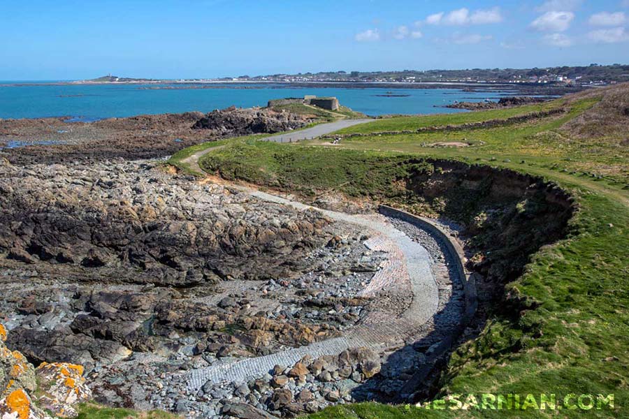
The headland at Pezeries, in Torteval, is the most southerly northern-facing point on the island. It marks the turning point where the west coast curves around to the south coast. In the image above, the fort is on the end of the headland to the right of the picture.
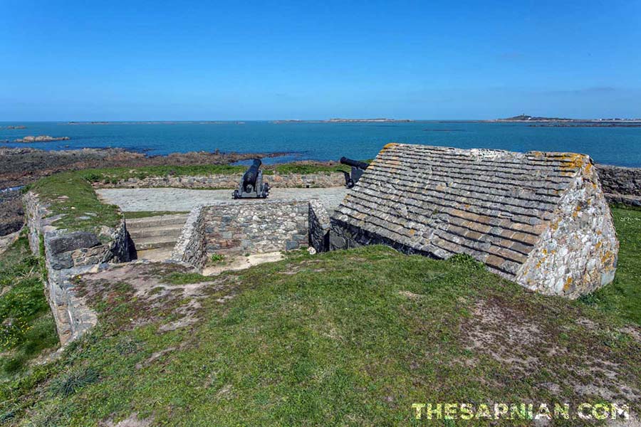
It sits just south west of Portelet and has been home to a castle or fortress for several centuries. The exact date when the first fortifications were built there is unknown but the Guernsey Tourist Office states on its website that there has been a fortress there since at least 1680.
Its position gives anyone manning the fort a good view across Rocquaine Bay and around to Les Hanois lighthouse.

The road between the fort and Portelet is now closed to vehicles as it is no longer strong enough to take regular traffic. However, it is open to walkers and on a sunny day the walk between the two is well worth taking — as is climbing up to the lookout point high above them, roughly at the half way point, where a mast and rigging were erected to commemorate the Diamond Jubilee of Queen Elizabeth II in 2012.
Close by the fort is the Fairy Ring, also known as the Table des Pions, which is a circular trench around which are seated several rocks. It was used as a meeting and eating point for island officials as the inspected the roads and defences.
Read more about Pezeries
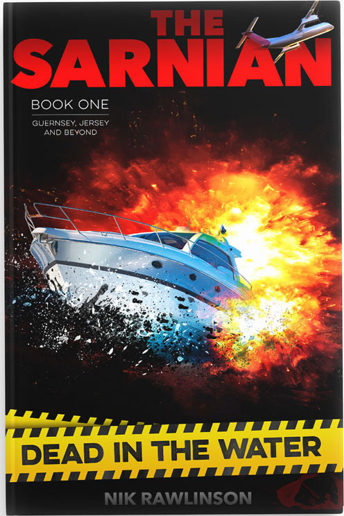
A body on a beach, an impossible alibi and an unstoppable race against time!
Pezeries appears in The Sarnian, the explosive adventure series in which the discovery of a dead body on one of Guernsey's most secluded beaches blows the lid on a world of intrigue and deceit.
Click below to download your copy today…


Pezeries in context
Pezeries in brief
Headland in the south west corner of the island where a small fort has maintained a defensive position for several centuries.
See also...
Jaonnet Bay
Deep south coast bay
Deep south coast bay
Torteval
High western parish
High western parish
Fermain Bay
Pebbly east-coast bay
Pebbly east-coast bay
Crevichon
Tiny island off the coast of Jethou
Tiny island off the coast of Jethou
Alderney
Third largest Channel Island
Third largest Channel Island
FREE Guernsey newsletter
Don't miss our weekly update on Guernsey's fascinating history. We promise never to sell your data to anyone else, and there's a super-easy unsubscribe link on the bottom of each email so you can leave whenever you want.